
GEOLOGICAL MAPPING OF TRANS-ALTAI GOBI

Name of project:
Geological and geochemical mapping of Trans-Altai Gobi on the scale of 1:200000
Project sponzor: Ministry of Environment of the Czech Republic and Development Agency of Ministry of Foreign Affairs
Contractor: GEOMIN company Jihlava
Project manager: Jiří Šourek
Counterpart organizations:
- Office of Geological Investigation, Ulaanbaatar, Mongolia
- Central Geological Laboratory, Ulaanbaatar, Mongolia
- Geological Information Center, Ulaanbaatar, Mongolia
- Geological Institute of Academy of Science, Ulaanbaatar, Mongolia
Co-operating institutions:
- Czech Geological Survey
- Faculty of Natural Sciences, Charles University, Prague
Project duration: 1999 – 2003
Project was funded in the frame of program of Czech Development Aid from the budget of the Czech Republic.
AIM OF PROJECT
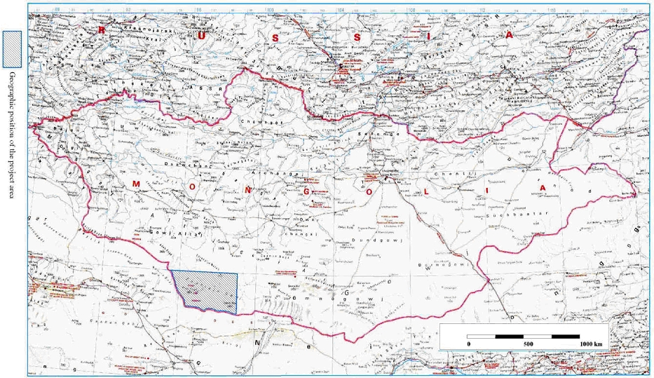
Localization of Mapping Area
SCOPE OF WORK AND RESULTS
Besides regional sampling detailed survey of selected areas have been carried out – 15 areas with showings of gold, platinum and base metals. All above mentioned data have been evaluated and interpreted.
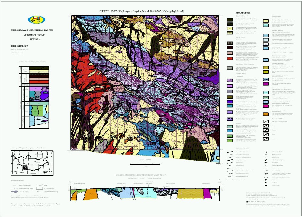
PROJECT OUTPUT
- geological map
- structural-tectonic map
- geomorphological (exodynamic) map
- map of distribution of selected heavy minerals from alluvial samples
- map of geochemical anomalies in fine fraction of alluvial samples
- map of geochemical anomalies in silt samples
- radiometric map
- hydrologic map
- map of ore indicators (showings)
- prognostic map of raw materials
Besides detailed geological and geochemical maps of 15 selected areas have been also elaborated.
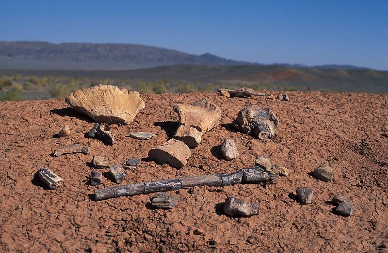
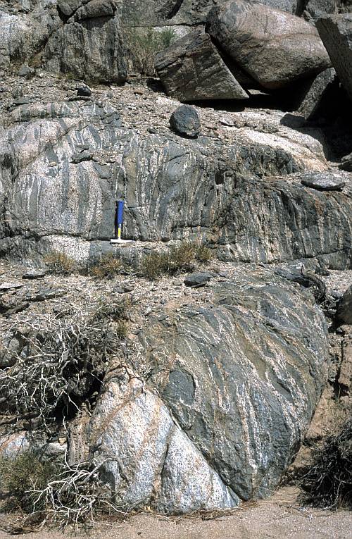
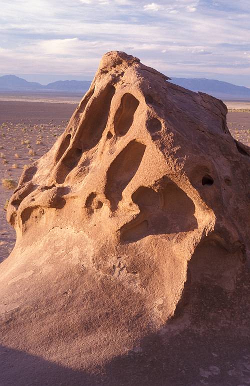
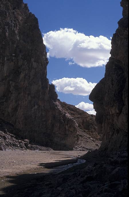
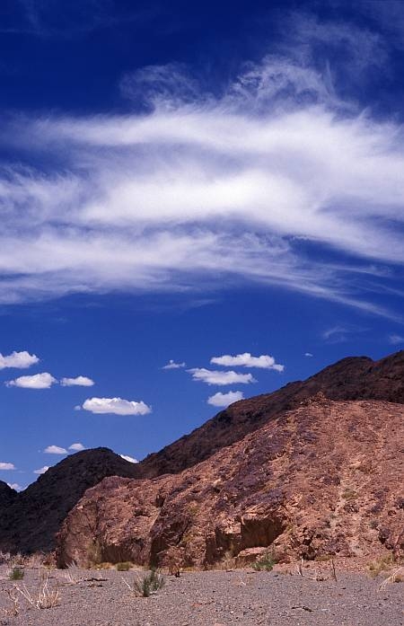
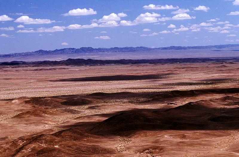
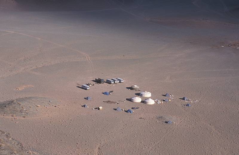
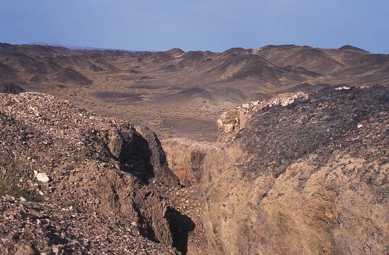
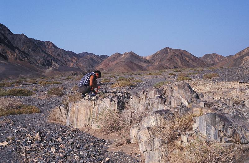
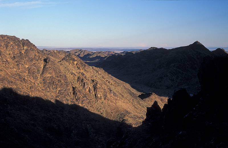
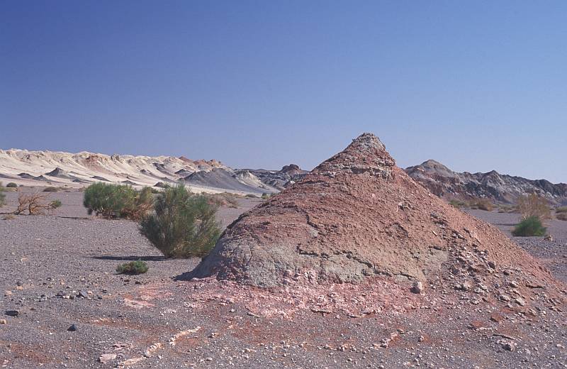
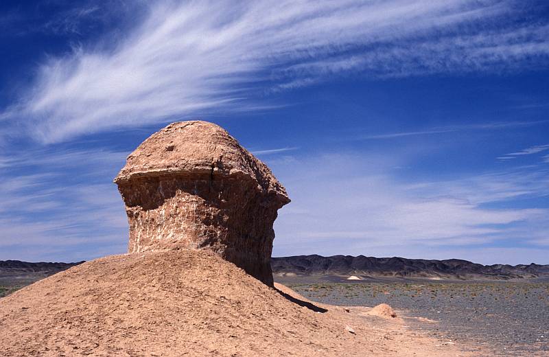
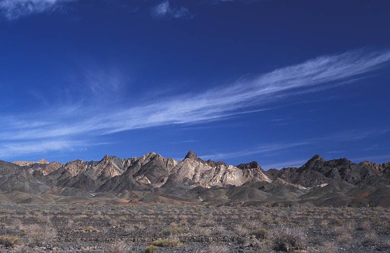
GALLERY
Finding of dinosaurian bones